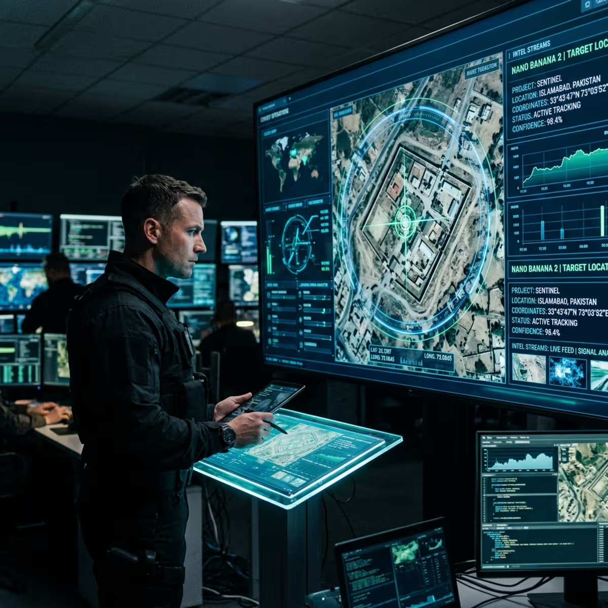
Geolocating a photograph from visual clues alone used to be a specialist’s craft. A trained analyst might spend hours, sometimes days, dissecting a single image: the architecture, the vegetation, the road markings, the angle of the sun. Today an AI does a version of that work in seconds, and anyone can use it.
GeoSpy.ai is an image-geolocation tool. Upload a photo and it returns an estimated location on a map. No metadata required, because it reads the pixels themselves. It represents a real shift in Open-Source Intelligence (OSINT), and it raises equally real questions about what any of us reveal every time we post a picture.
How It Works
The system is trained on large volumes of geolocated imagery and cross-references the same visual cues human analysts use, at machine speed:
- Architecture: Building styles, rooflines, and window shapes narrow a scene to a region or even a city.
- Vegetation: Tree and plant species point to a climate zone.
- Infrastructure: Road markings, signage conventions, utility pole designs, and license plate shapes act as national fingerprints.
- Terrain and light: Elevation, soil color, and sun angle help estimate latitude.
Accuracy varies. Results range from country-level guesses to unnervingly precise street-level hits, with outdoor scenes and distinctive features producing the strongest results. The trend line only points one direction, though, and that is what makes the tool both useful and unsettling.
The Legitimate Uses
For investigators, journalists, and emergency responders, automated geolocation is a force multiplier:
- Criminal investigations: A photo from a suspect’s digital footprint can confirm or break an alibi.
- Conflict verification: Journalists and analysts verify where footage from war zones was actually shot, which has become one of the most effective counters to disinformation.
- Missing persons and emergencies: A single transmitted image can tell responders where to look.
- Counter-terrorism: Analysts trace the origin of imagery shared by hostile groups.
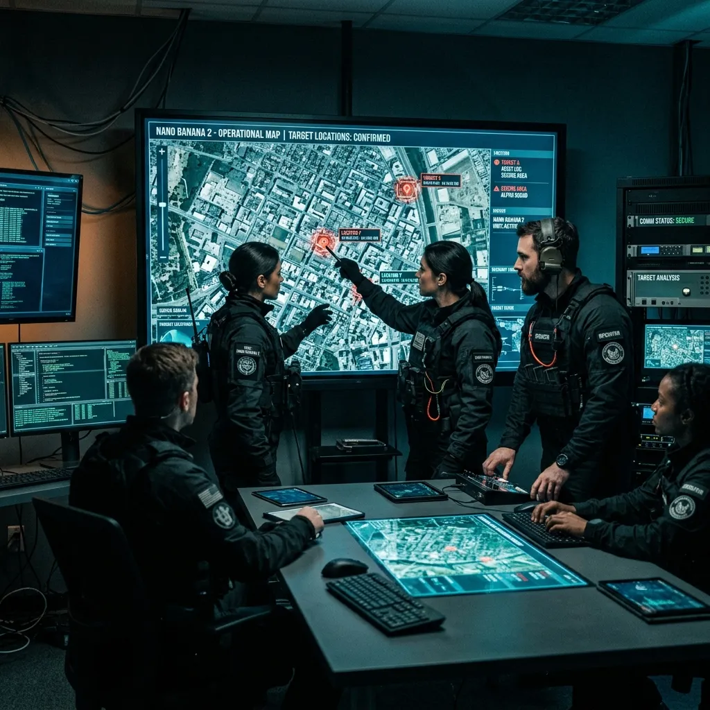
The Dark Side
Every OSINT capability is dual-use, and this one’s failure mode is obvious: the same tool that verifies a war-zone video can locate a person from an innocuous photo on their social feed. Stalking and targeted harassment are the most direct dangers. Beyond them:
- Corporate espionage: Identifying facilities from employee photos.
- State surveillance: Mapping the movements of officials, activists, or deployed personnel.
- Scale: Combined with facial recognition, image geolocation makes non-consensual tracking cheap.
The uncomfortable takeaway is that stripping a photo’s metadata no longer protects you. The background is the metadata now. Every image you post is a location disclosure; the only question is how precise.
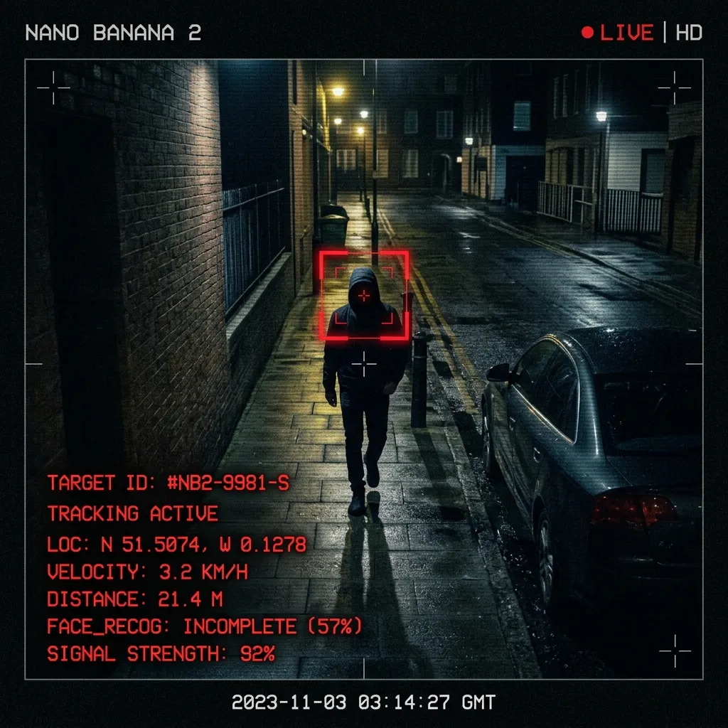
The Unseen Map
Tools like GeoSpy.ai are not the future. They are the present, and they will keep improving. The skill of reading an image cuts both ways. Learn it and you can verify what’s real, protect your own exposure, and understand what the world can see about you. Ignore it and you’re on the map anyway, just without knowing it.
The best way to understand image geolocation is to do it yourself, legally and on fictional targets. The Orrery is recruiting.